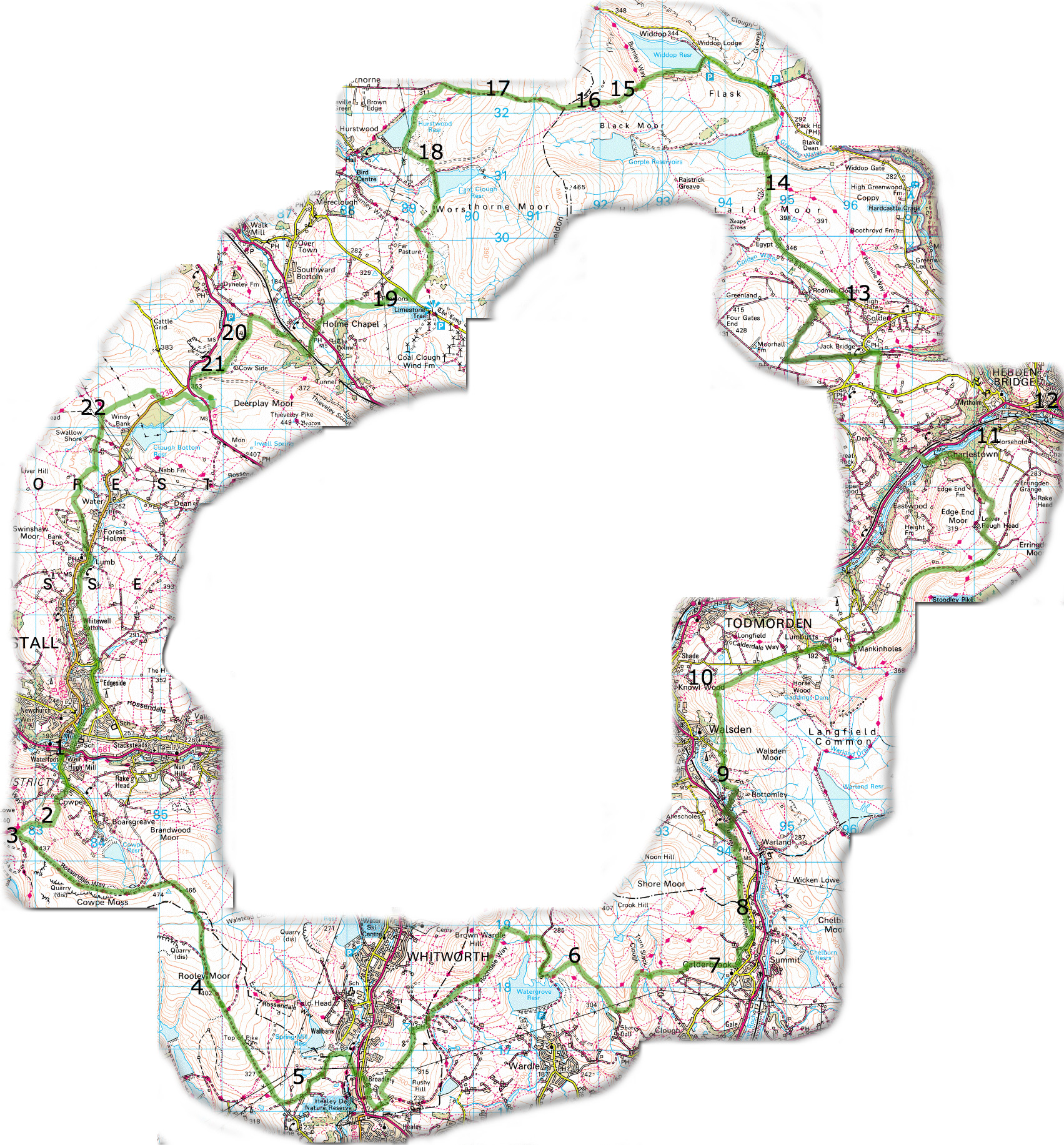
Mary Towneley Loop
This page takes about 9 mins to load at 28,000kps

The numbers in black correspond with the the photo's taken on the route.
If you click on any of the numbers,
you will get the relevant view.
"can you find the secret picture?"
Back to
Mary Towneley page

Image produced from the Ordnance Survey
Get-a-map service.
Image reproduced with kind permission of
Ordnance Survey and Ordnance Survey of Northern Ireland.


Waterfoot town centre The steep climb Way marker at the top Rooley Moor Rd Great cross country action Calderbrook Summit air shafts Wonderful Packhorse trails Stunning views callis Wood Well done, you have found it!! Time for a well earned rest Take a quick right for 200 meters for a hot pie , brew ,or copy of MBR from this Aladdins Cave. Get your mate to go first and hold the gate open for this flat out decent! Phew! Fist sized rocks threaten puncture free ride. Cant Clough Res Good decent into Holme Chapel The grassy Knoll At the top of the world Mary Towneley Memorial Stone.